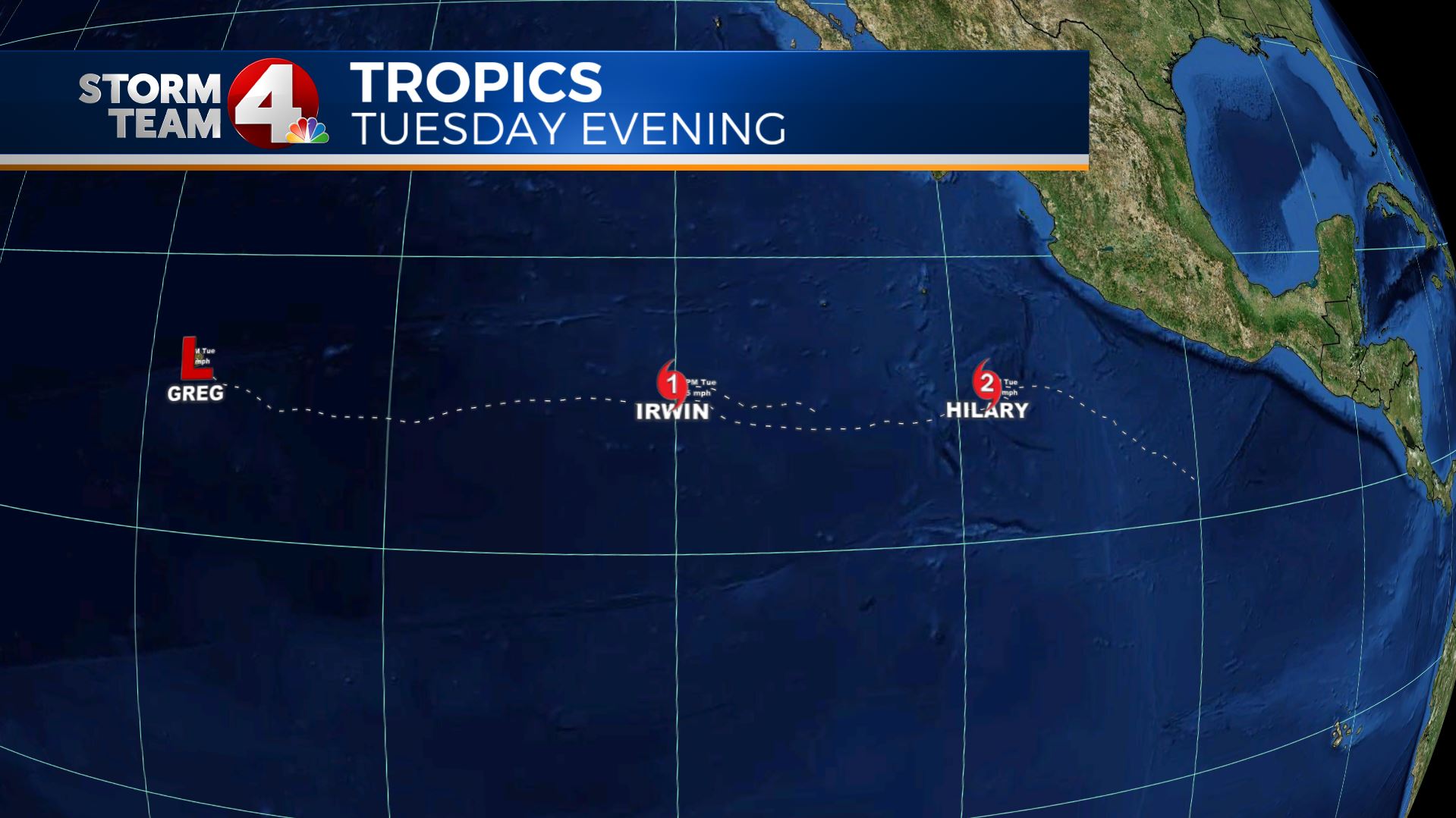
Columbus (WCMH) – Monday I posted an image of three tropical systems in the Eastern Pacific Basin. Now we have two hurricanes and a Tropical Depression.Forecast models are showing the hurricanes getting very close together soon:
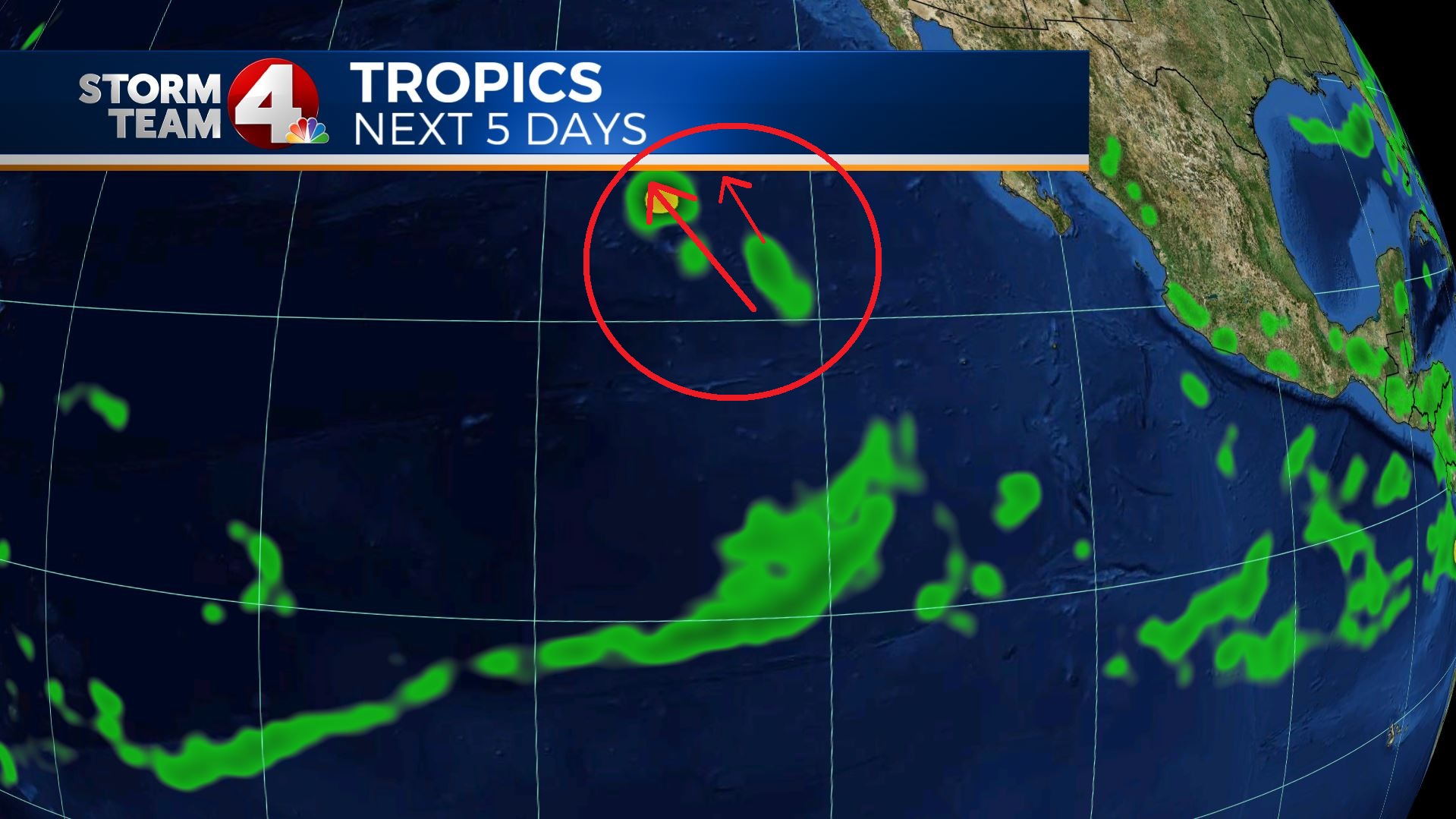
Below is the current location Tuesday Evening of the three systems, with the past tracks (dotted)
What will happen over the next few days is called the Fujiwhara Effect:
By definition the Fujiwhara Effect is The tendency of two nearby tropical cyclones to rotate cyclonically about each other.
Typically when two tropical systems are less than 1000 miles from each other, it is possible for them to start steering each other, and causing the smaller system to rotate around the bigger system. Eventually the bigger system more or less, eats the smaller system.
In the case of Hurricane Irwin and Hurricane Hilary, Irwin will start to drift southwest, then stall and backtrack to the northeast and rotate counterclockwise until it is absorbed by a weakening Hilary.
The official National Hurricane Center forecast (at the top of this story) shows that interaction in the messy looking forecast.
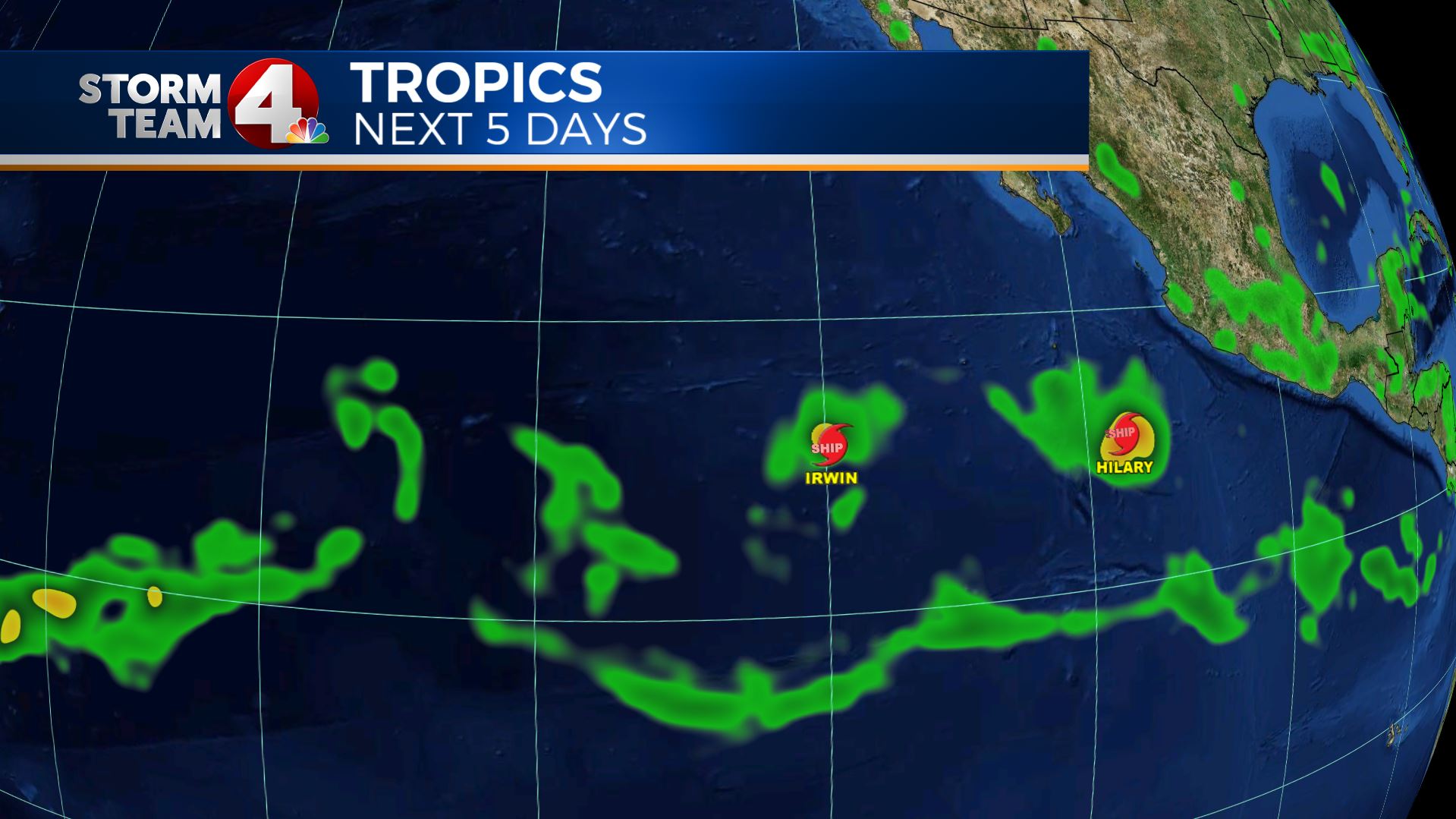
Below is the GFS model forecast for the systems starting tonight:
Next, you will notice Hilary moving to the northwest, as Irwin drifts southwest:
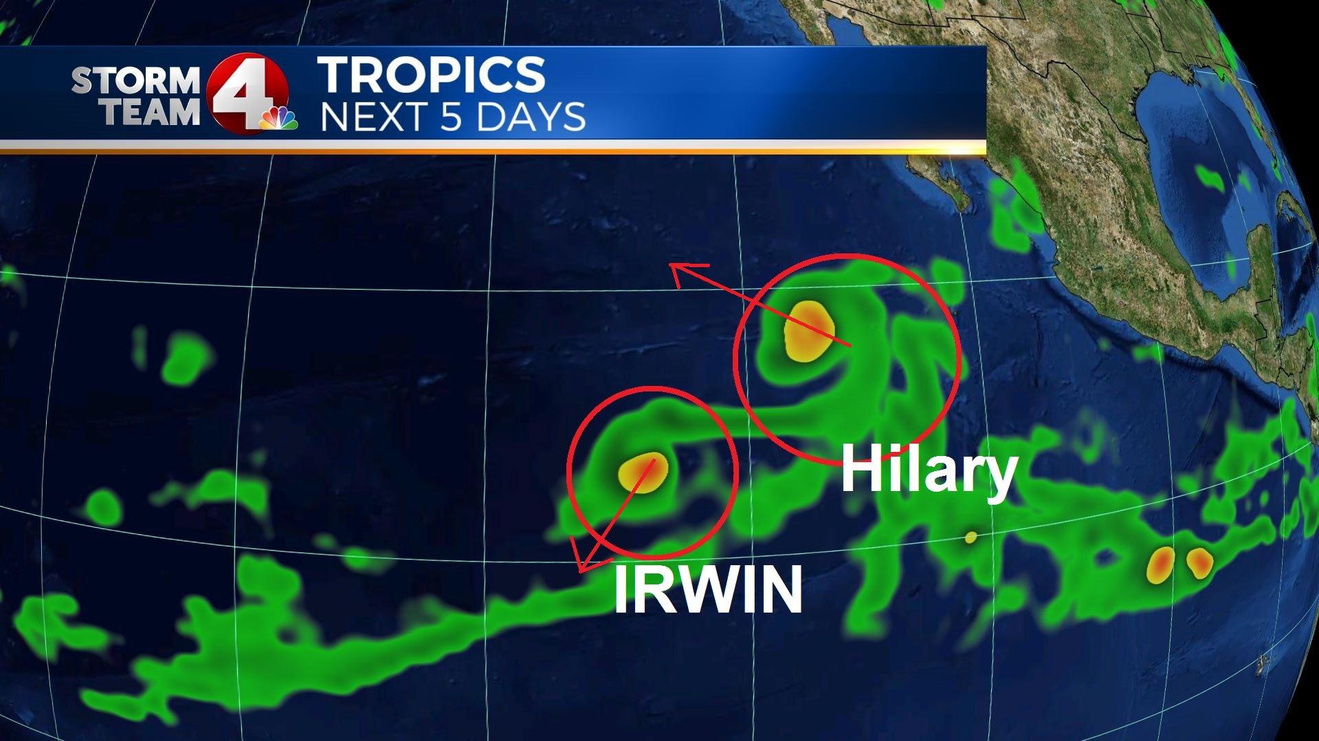
Then you will notice after a stall by day 2-3 (Thursday-Friday), Hilary begins to draw Irwin in:
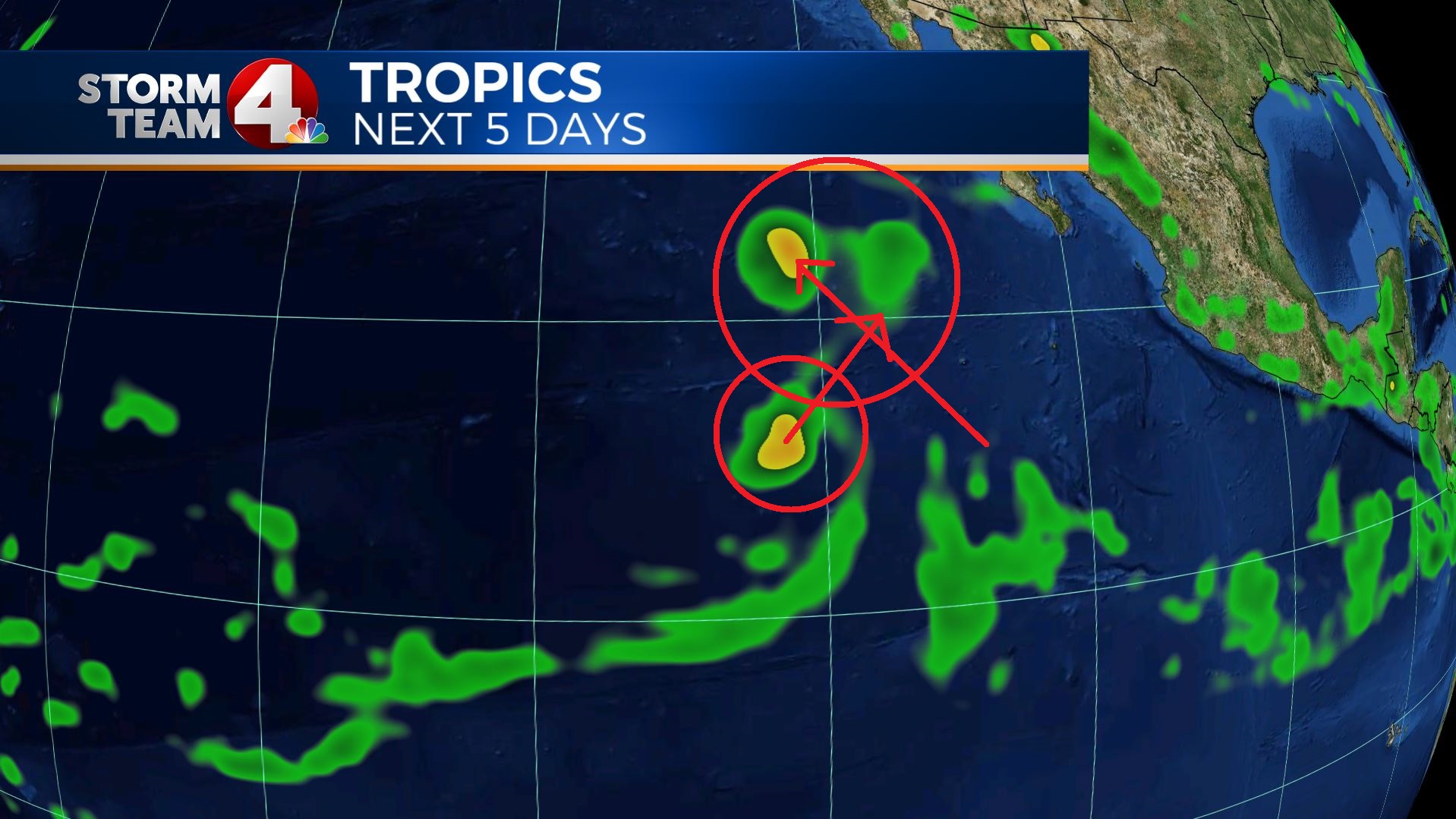
After that, you can see Irwin become difficult to recognize as Hilary weakens on her Northwest track:
By the weekend, Hilary and the remnants of Irwin should continue to the northwest as then Tropical Storm Hilary encounters cooler waters.
Pretty neat to see the tropics and science in motion 🙂
If you ever have questions about the tropics, science, or any other weather questions, email me: dmazza@wcmh.com
-Dave


