QUICK WEATHER FORECAST:
- Today: Partly cloudy, high 53
- Tonight: Mostly clear, low 34
- Sunday: Clouds building, high 61 (44)
- Monday: Some clearing, high 72 (51)
- Tuesday: Chance of showers, high 70 (52)
- Wednesday: Chance rain showers, high 69 (55)
FORECAST DISCUSSION:
Temperatures start of chilly on Saturday, but will warm up as the morning goes on. A Freeze Warning is in effect for portions of Central Ohio until 10am. Later today temperatures will be in the low 50s for the daytime highs. Skies will be partly cloudy, but a few extra clouds will build in during the afternoon. Except north winds moving at 10-15 mph.
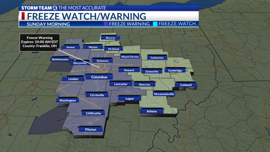
Overnight skies will clear out a little bit. A Freeze Warning will go into effect across parts of Central Ohio, and last until 10 am Sunday. Temperatures will fall close to the freezing point once again. Lows will be in the low 30s. Expect patchy frost by morning. Winds will be light and variable.
Sunday will bring more clouds by the afternoon as our next system approaches Central Ohio. Daytime highs will will closer to normal for this time of year reaching the low 60s. As the day goes on clouds will increase in the afternoon. Light rain chances start up late in the evening. More chances for scattered rain arrive overnight into Monday morning.
Monday’s Eclipsecast continues to show clouds clearing again as we move into the afternoon. Temps will top off in the low 70s. Generally speaking, it’s going to be a beautiful day. That beauty won’t last long. Rain chances and a few thunderstorms roll in as the week goes on. Temperatures through the work week are expected to stay above normal.


