QUICK WEATHER FORECAST:
- Tonight: Mostly clear, low 55
- Tuesday: Sunny & hazy, high 85 (66)
- Wednesday: Clouds increasing, high 88 (67)
- Thursday: Showers/ t-storms, high 82 (66)
- Friday: Rain & rumbles, high 79 (62)
- Saturday: Scattered storms, high 77 (59)
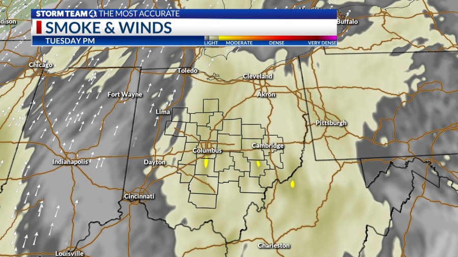
Another round of Canadian wildfire smoke is forecast to move closer to the surface in central Ohio overnight. This will add a few more vibrant colors to the sunset. Skies stay mainly clear. Temperatures will only fall to the mid 50s.
There will be moments that bring in thicker smoke plumes tomorrow. This will especially be the case in the afternoon onwards. Temperatures continue the summer-like climb as they approach the mid 80s. This is all going to occur under mainly clear skies.
Wednesday is mostly sunny and hazy, but changes will begin as the next cold front approaches central Ohio. More clouds will build up as the day goes on, but conditions will remain rainless. Get ready for the heat with highs in the upper 80s.
The next chance for showers and storms returns Wednesday night into Thursday. This system will become stationary by the time it arrives in central Ohio. This means that showers and thunderstorms will occur on and off through the end of the workweek and some of the weekend. Temperatures will remain at or above average for this time of year.


