QUICK WEATHER FORECAST:
- Today: Rain & rumbles, high 78
- Tonight: Spotty rain, low 62
- Thursday: Warm & muggy, high 86 (68)
- Friday: Isolated t-storms, high 85 (64)
- Saturday: Scattered showers, high 77 (57)
- Sunday: Mostly sunny, high 73 (52)
Rain chances will continue through at least the middle of the week as Wednesday brings in a few more thunderstorms by the afternoon. A warming trend is also going to continue as high temperatures will reach the upper 70s.
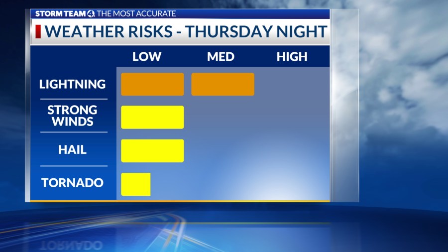
The second half of the work week will also bring summer-like temperatures with highs between Thursday and Friday, reaching the mid 80s. Thursday into Friday night will also bring the chance for a few more storms, and these ones may lean a little bit on the stronger side. The strongest of these storms will arrive Thursday night into Friday.
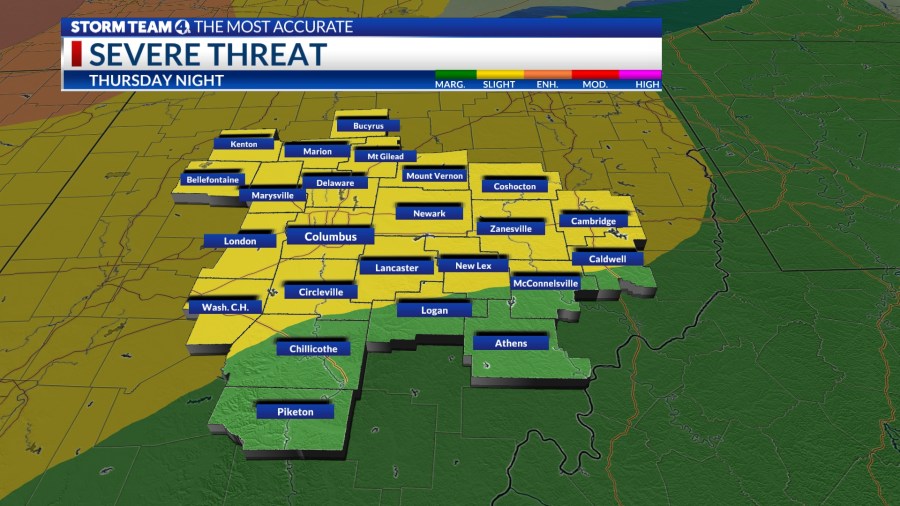
The most of central Ohio, including Columbus, is already under a slight risk (2/5) for severe weather. Everywhere else will see a marginal (1/5) risk as the storms are expected to weaken the further they move into the state.
Another cold front arrives Friday night bringing more rain. A couple more chances for pop-up storms will kick off the weekend on Saturday. Skies are going to be partly sunny by Sunday and cooler temperatures will settle back in.


