COLUMBUS, Ohio (WCMH) — Snowflakes have been few and far between this winter, with only a few dustings adding up to barely an inch in Columbus in total.
The main driver of weather systems in recent weeks has been an El Niño pattern, which historically favors a mild Pacific flow, with a strong southern branch of the jet stream deflecting arctic air north of Ohio, except for brief incursions.
This winter arctic air has been confined by the northern branch in a split flow, remaining near and north of the Midwest. Also notable this winter is the absence of a broad snow cover across the northern tier of states and southern Canada.
Present indications are for a combination of snow and pockets of freezing rain this morning, changing to light rain and drizzle by midday. Accumulation of snow will be light in central Ohio–an inch or less–due to the quick movement of the storm and temperatures edging above freezing.
A winter weather advisory is in effect Saturday morning for Pickaway, Fairfield, Hocking, Ross, Fayette and Pike counties southward to the Ohio River for a mixture of snow and freezing rain at the onset of the precipitation.
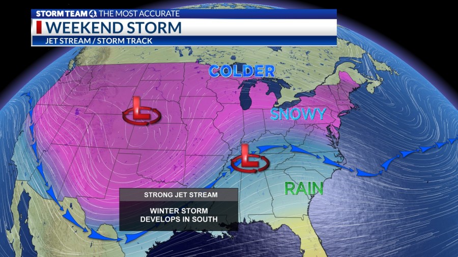
The storm will move to off Mid-Atlantic Coast Saturday night, where a heavy wet snow fall is likely over the interior of Virginia, Maryland, Pennsylvania northward to New England. The higher elevations could receive 8 to 10 inches of Sunday through Sunday morning.
A secondary upper-level system will slide in behind the first wave early Sunday, bringing a quick shot of wet snow in the morning, ending as a few snow and rain showers midday. Accumulations will be light. Afternoon readings will rise into the upper 30s, so roads will be mostly wet from midday onwards.
Yet another more potent storm will arrive Monday night into Tuesday of next week, but this time the track will be west of Ohio, resulting in a brief period of snow changing to rain after a few inches of accumulation, accompanied by strong winds, as temperatures rise into the 40s.
The rain will end as snow showers Wednesday, with gusty winds and falling temperatures through the 30s.


