COLUMBUS, OHIO (WCMH) – The last several days have been incredibly smoky, not just for Central Ohio, but for much of the state, the Midwest, and the Northeast. Wildfire smoke from Canada has been streaming through the region, causing incredibly poor air quality that has lead to air quality alerts for millions.
For Columbus, Thursday was our worst day so far this year, and our worst day since records began in 1999, as our air quality index (AQI) soared to 244 at a northwest Franklin County site. This put us well into the “Very Unhealthy” category, meaning the risk of adverse health effects was increased for everyone, not just sensitive groups.
The highest reading in the state was 311 in Medina County on Wednesday. Canton reached a peak AQI of 265.
Air quality alerts were still in effect on Friday for the fourth day in a row in parts of Ohio. More than 20 states have experienced unhealthy levels of particulate pollution contained in the smoky haze since June 27.
Air quality has improved dramatically for now, with values generally under 50 across most of Ohio Friday afternoon. However, this likely was not the last of the haze we’ll see this summer. While it isn’t uncommon for us to see the smoky haze from wildfires at times throughout the year, it is, historically, uncommon for it to be this bad.
Where is it coming from?
It’s coming from Canada. And according to the Canadian Interagency Forest Fire Center (CIFFC), the wildfire season is already its worst on record, and the country hasn’t even reached its typical “peak” season. That arrives from July into August.
According to CIFFC, wildfires have charred more than 20 million acres, with more than 3,000 fires so far this year. A record 31,000 square miles have been scorched so far this year.
Currently, there are 476 active wildfires, 234 of which are burning out of control, according to the CIFFC.
Why is it so bad?
Fine particulates transported by the smoke are dangerous to inhale. Prolonged exposure can create allergy symptoms that bother the throat and eyes and irritate the lungs. The risk is higher for sensitive groups, which includes young children, older folks and people with respiratory or heart problems.
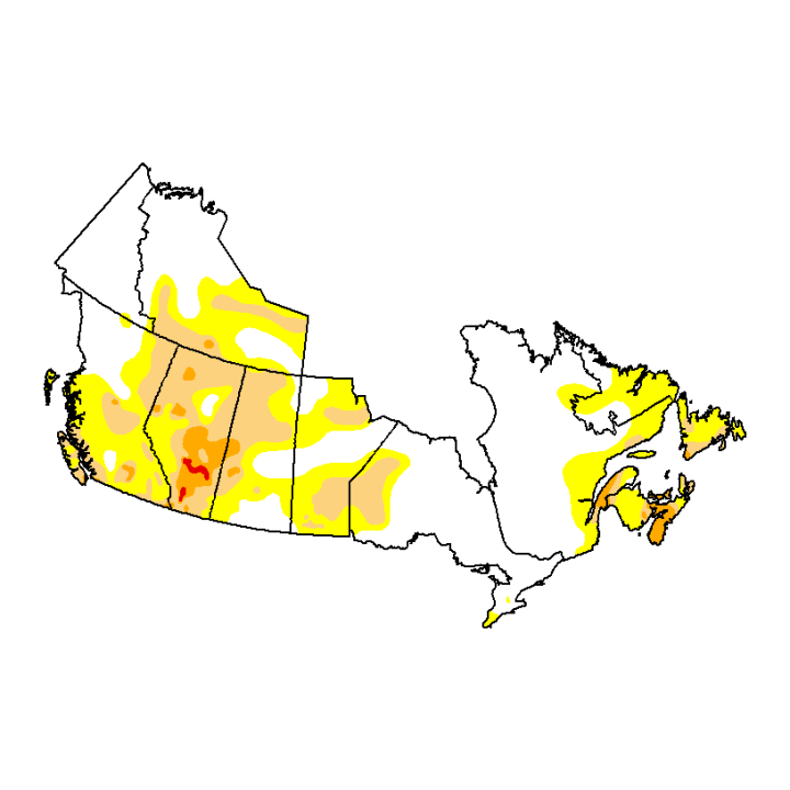
The record-breaking wildfire season in Canada is the result of a combination of things. For one, many parts of Canada came out of the last winter season with a lower than normal snowpack. Additionally, a dry spring has led to drought conditions across much of the country.
All of that, and record heat in parts of northern and western Canada southward to the Plains states has created prime conditions for fires to start, and for them to spread.
How long will it stick around?
We likely have not seen the end of the wildfire smoke in Central Ohio.
When we couple the wildfires with the right wind pattern, it will send more smoke our way. So in the case of the Canadian wildfires, anytime we get a northerly component to our wind flow, that will likely send the smoke back here.
The last few days, we have had a strong northerly wind pattern, as a low pressure lingered in the Great Lakes region for several days. The cyclonic rotation kept a strong northerly flow in place, which led to record-poor air quality for Ohio.
It was a similar set up during the early part of June, when a strong low pressure system to our north sent apocalyptic-like smoke into New York City. We also dealt with air quality alerts in Ohio from this setup in early June, although the AQI was not as bad as it has been these last few days.
And it’s not just Canada. As the United States gets into the summer wildfire season, a westerly wind can also send smoke our way when wildfires start burning out west. Many western states did have a record-breaking wet winter season, which alleviated drought conditions for many areas, but how much of an impact that will have on the U.S. wildfire season remains to be seen.